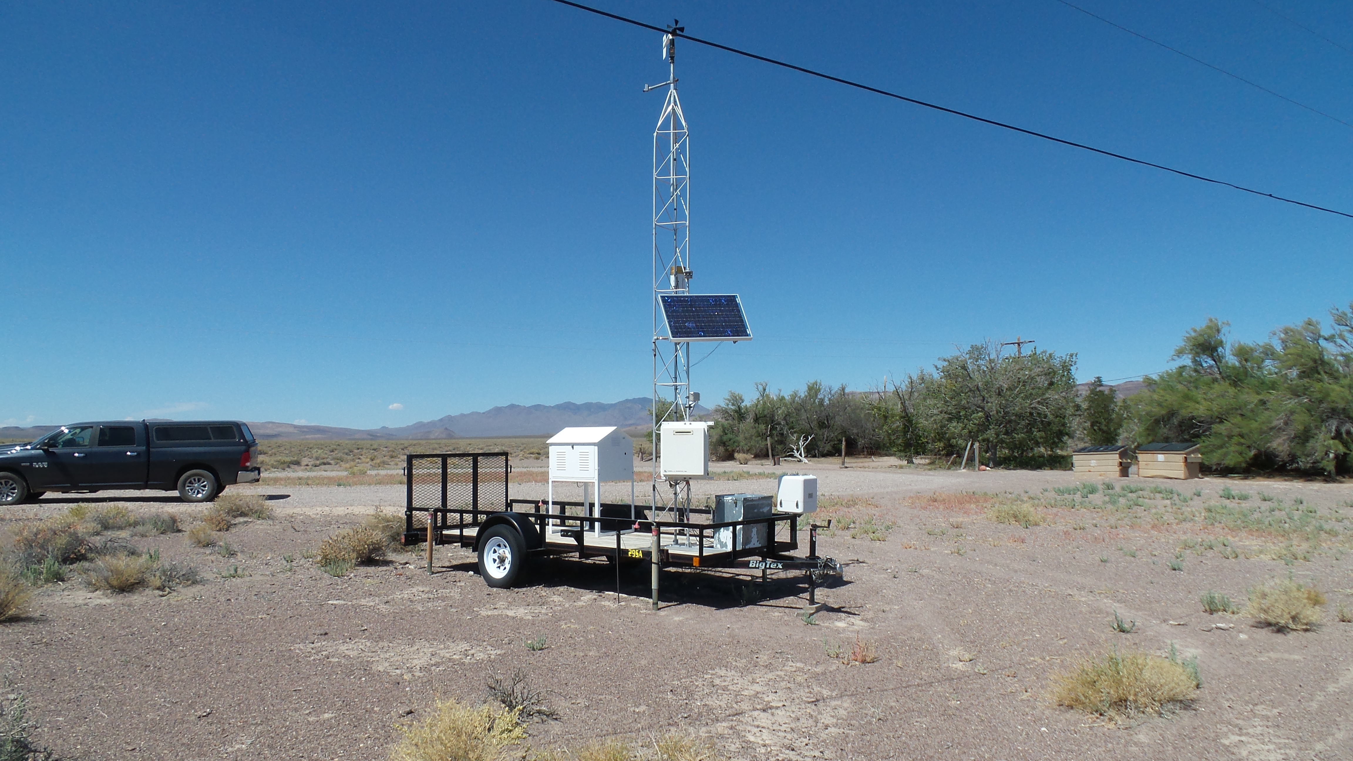
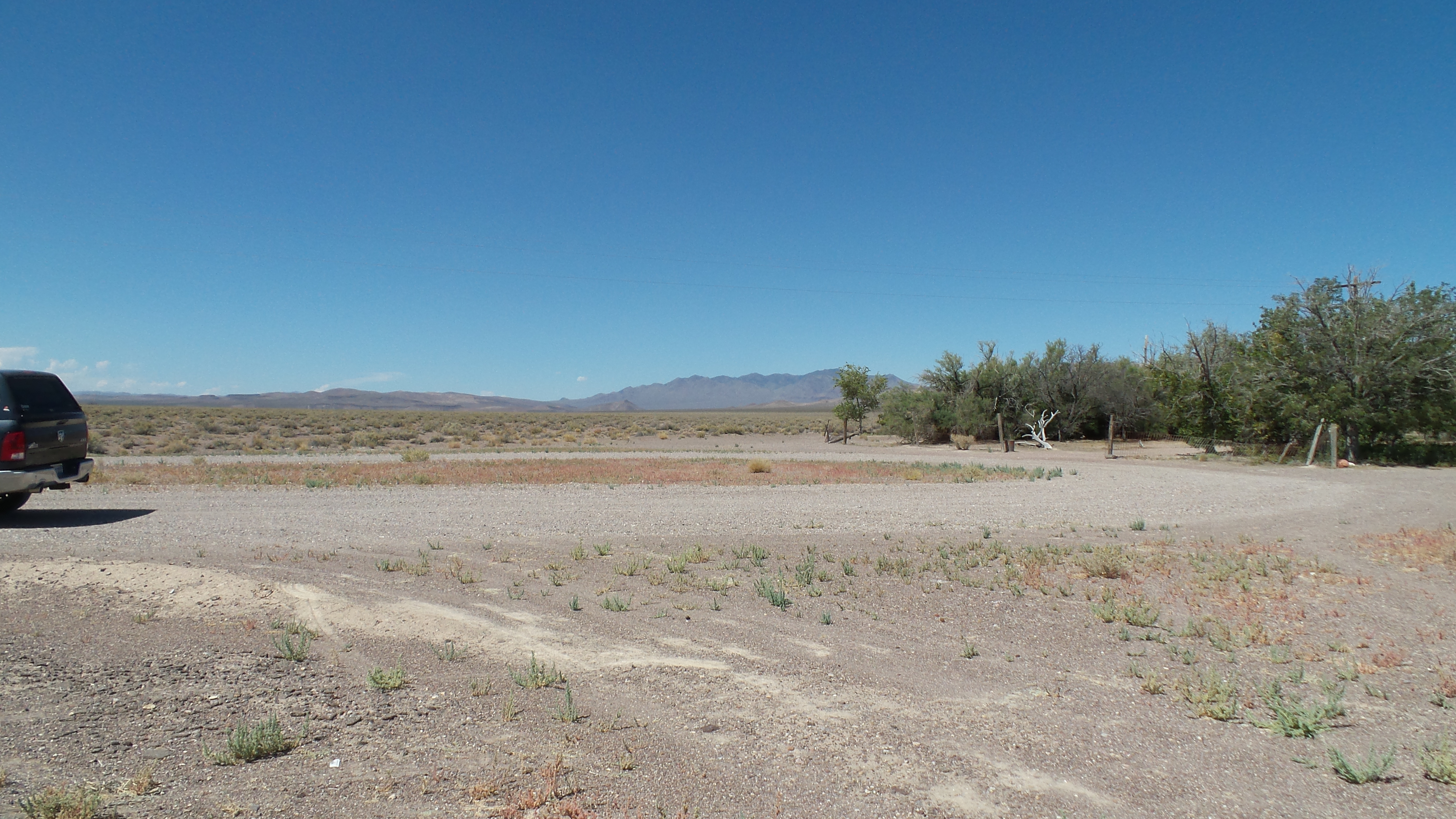
Sarcobatus Flats Nevada
Looking to the station
 |
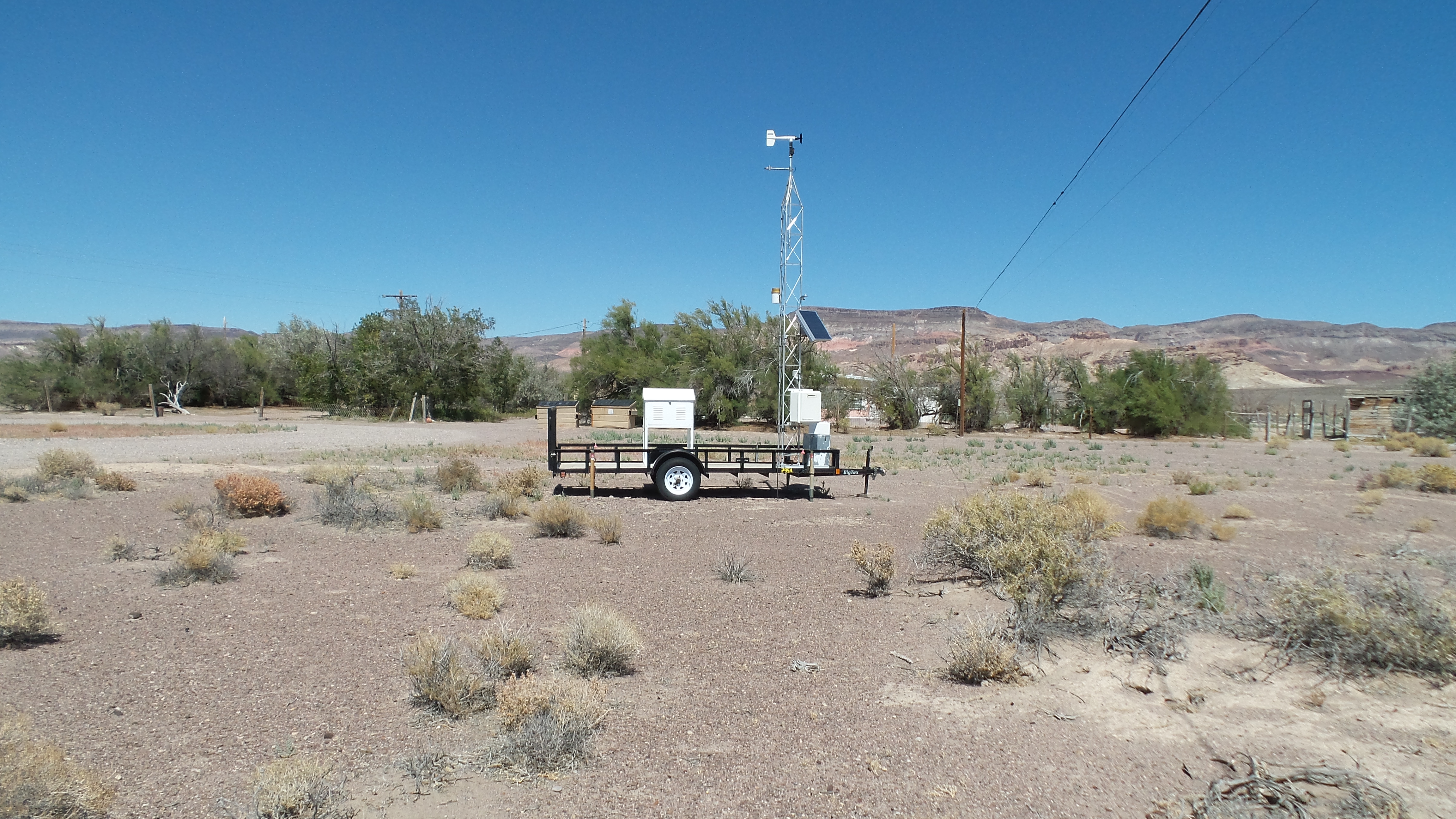
Looking from the station
 |
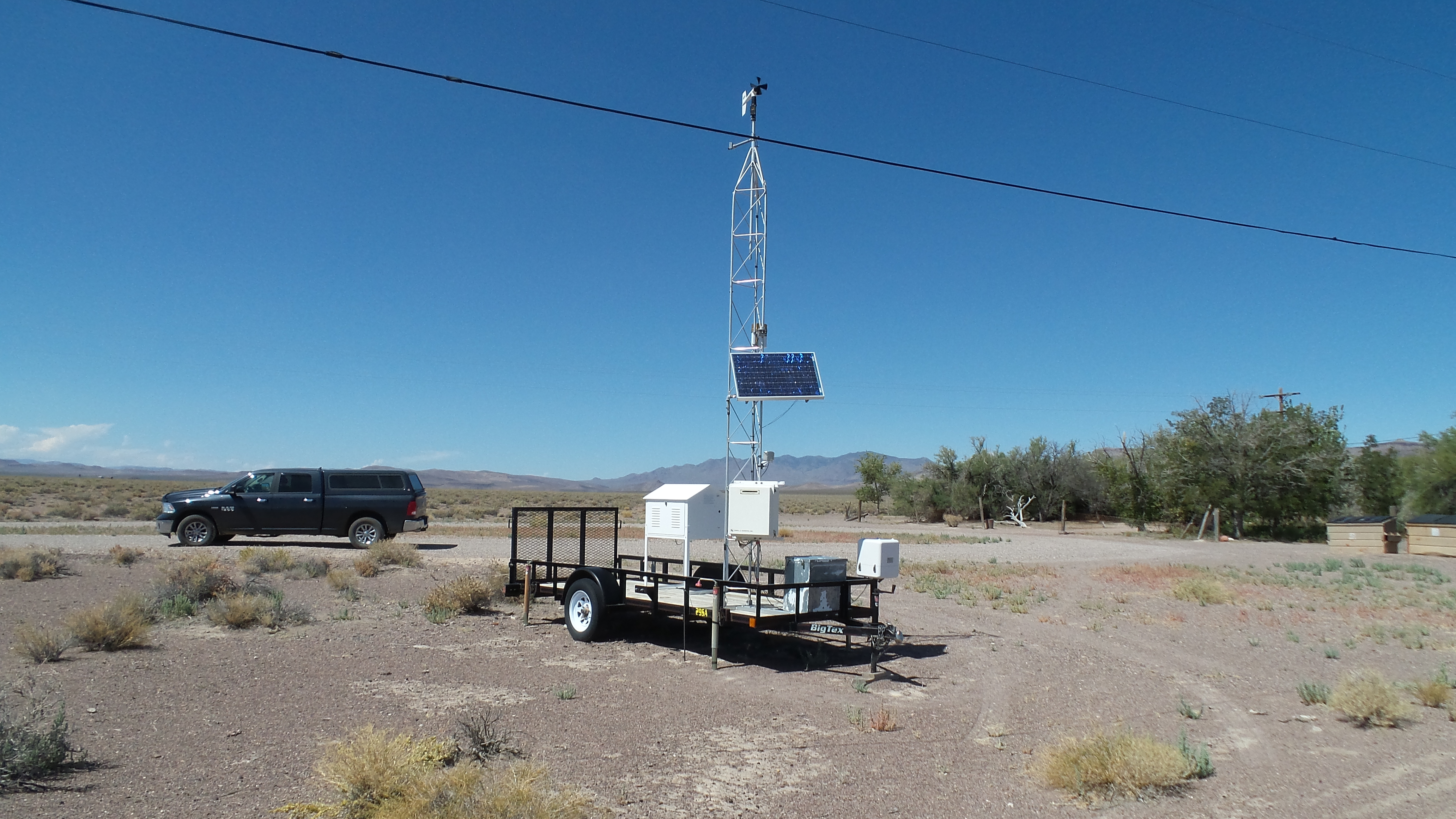
More Images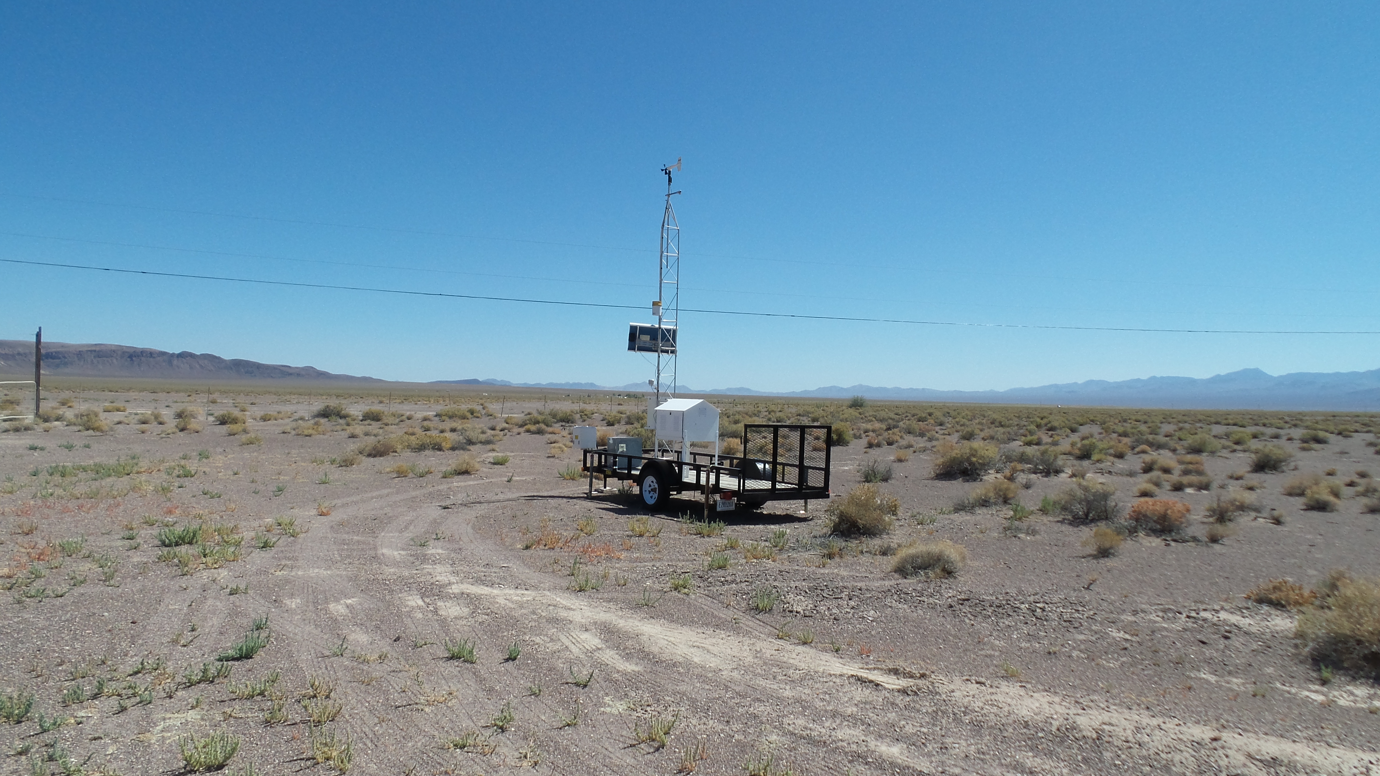
|
Photos taken: August 2019
Photos also available from: July 2015 May 2001 April 2007 November 2005
Station Information
Location Sarcobatus Flats Nevada Latitude 37° 16' 46" Longitude 117° 01' 58" Elevation 4014 ft.
Provisional Data Notice
It is the intent of the CEMP to provide to the public accurate, near real-time monitoring data through this web site. However, it should be noted that these data are provisional and therefore may be subject to change. Provisional data may be adjusted for various reasons including disruption of sensors, instrument calibration, equipment failure, and problems with data transfer. These data are not valid until thoroughly reviewed and evaluated by the Desert Research Institute. Data users are cautioned to carefully consider the provisional nature of this information before any application, particularly for decisions that concern personal or public safety or the conduct of business that involves substantial monetary or operational consequences. Information concerning the accuracy and appropriate uses of these provisional data may be obtained by contacting the Western Regional Climate Center at wrcc@dri.edu or by calling (775) 674-7010.
- Near Real-time graphic
- Daily Summary
- Daily Summary (with Wind Chill and Heat Index)
- Daily Summary Time Series
- Monthly Summary
- Monthly Summary (w/Et data)
- Graph of most recent 7 days
- Area Map
- Station Info and Photos
- Time Series Graph
- Wind Rose
- Frequency Distribution/Histogram
- Data inventory
- Data Inventory (Monthly Graphic)
- Current 7-day forecast (NWS)
- Climatological and Gamma Radiation Summary

