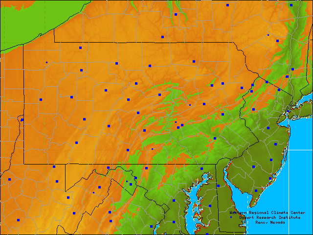
Select a site by placing mouse cursor over a site. Site name will appear in location box below the map if browser supports javascript1.1. Click site to go to graphing options.
Large boxes indicate stations that had reported during the month when these maps were last generated. Small boxes indicate inactive or removed stations.
Map last generated on 07/26/25.
If a location has multiple stations or more than one platform in the near vicinity, overlapping boxes may create difficulty when selecting from the map. Select from the list to the left in such cases.
Western Regional Climate Center, wrcc@dri.edu
