MAPS ALERT: The WestWide Drought Tracker is getting a
major upgrade!
New and improved maps are located here. We strongly encourage using the new maps application.
Continue to use the menu options above for time series and archive features until they are upgraded at a later date.
New and improved maps are located here. We strongly encourage using the new maps application.
Continue to use the menu options above for time series and archive features until they are upgraded at a later date.
Climate Product Options
Expand All | Contract All- Variable
- Drought Index
- Palmer Index
- SPI ?
- SPEI ?
- Climate
- Temperature
- Anomaly ?
- Percentile ?
-
Precipitation
- Anomaly ?
- Percentile ?
- Temperature
- Drought Index
- Region
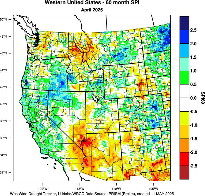
Current Product:
PRISM > SPI 60 Month > Western US
Download PRISM SPI 60 Month NETCDF Data for United States
Download PRISM SPI 60 Month GeoTIFF Data for United States
How to cite:
Abatzoglou, J.T., D.J. McEvoy, and K.T. Redmond, in press, The West Wide
Drought Tracker: Drought Monitoring at Fine Spatial Scales,
Bulletin of the American Meteorological Society